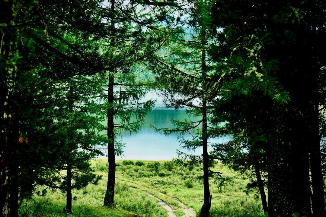
Photo by Ariungoo Batzorig on Unsplash
# Superior Hiking Trail Ice Conditions: The January-March Window Guide
When the Trail Freezes: What Changes Between Duluth and Grand Portage
The Superior Hiking Trail crosses 310 miles of ridgeline, river gorge, and Lake Superior shoreline from Duluth to the Canadian border. In January, that same trail becomes three different experiences depending on elevation and proximity to the lake. The Duluth sections near Enger Tower hold less snow and ice out faster — sometimes by late February in warm years. The Sawtooth range above Lutsen and the final 40 miles toward Grand Portage stay locked in winter until April. David Ohnstad learned this the hard way in March 2022, attempting the Oberg Mountain loop on what he assumed would be muddy trail. Instead, the north-facing slopes held 8 inches of compressed snow over ice, and his summer trail runners turned the descent into a sliding problem.
The difference isn’t just snow depth. It’s wind exposure, canopy cover, and the lake effect that keeps shoreline sections marginally warmer while inland ridges freeze hard. If you’re planning a winter hike on the SHT, the question isn’t whether to bring traction devices — it’s which sections require full crampons versus microspikes, and when the transition happens each season. This guide breaks down the 310-mile trail into winter zones, explains what ice conditions actually look like month by month, and covers the gear and planning decisions that separate a good winter hike from a dangerous guess.
The Three Winter Zones: Elevation and Lake Effect Define the Trail
The Superior Hiking Trail doesn’t freeze uniformly. The southern sections from Duluth to the Split Rock area (roughly miles 0–40) sit lower and benefit from lake-effect moderation. January temperatures here hover between 10°F and 25°F during the day, and south-facing slopes can shed ice during sunny stretches. The trail surface alternates between packed snow, bare frozen ground, and intermittent ice patches, especially on rocky sections like the climb out of Lester River. Microspikes handle most of this terrain, though stream crossings can present black ice over shallow flow.
The central ridge zone from Tettegouche to Caribou Highlands (miles 40–160) runs higher and inland. This is where the trail climbs into the Sawtooth range and winter conditions lock in harder. Temperatures drop 5–10 degrees compared to the shoreline, and snow accumulation doubles. The trail surface stays snow-covered from December through March, with ice forming underneath from freeze-thaw cycles. Section 13 near Lutsen — the stretch from Oberg Mountain to Moose Mountain — holds ice well into April on north-facing slopes. The terrain here demands crampons, not microspikes, especially on descents where the trail cuts across angled bedrock.
The northern wilderness zone from Caribou Highlands to the Canadian border (miles 160–310) sees the least winter traffic and the longest snow season. This section includes the roadless stretch through the Pincushon Mountain area and the remote final 50 miles past Grand Marais. Snow depth here can reach 18–24 inches by February, and the trail becomes a snowshoe route more than a hiking trail. Ice conditions vary wildly depending on wind exposure: exposed ridges scour down to wind-hardened crust, while sheltered valley sections hold soft snow over hidden ice. The Superior Hiking Trail Association recommends full winter backcountry gear for this zone, including overnight emergency supplies even on day hikes.
Month-by-Month Ice Progression: What January Through March Actually Look Like
January is the deep freeze. Expect daytime highs between 5°F and 20°F across most of the trail, with the lake-effect zone staying slightly warmer. The trail surface is primarily snow-covered with ice forming underneath from early season freeze-thaw. Stream crossings are frozen solid, which makes them easier to navigate than in marginal months. The biggest hazard is wind chill on exposed ridges — the Sawtooth ridgeline above Lutsen can see wind chills below −30°F. Ice conditions are relatively predictable: assume full traction and layered insulation. This is also the month with the most stable footing, since the snowpack hasn’t gone through repeated melt-freeze cycles yet.
February introduces variability. A warm spell can push daytime temperatures into the mid-30s, especially along the shoreline. This creates melt-freeze cycles that turn the trail surface into a skating rink by morning. The worst ice conditions happen after a February thaw: 2–3 inches of wet snow melt during the day, then refreeze overnight into a glassy surface layer. The Tettegouche section — especially the descent to Mic Mac Lake and the climb up to the ridgeline overlook — becomes treacherous. Microspikes lose grip on angled ice; crampons with front points are the safer choice. David Ohnstad watched two separate groups turn back on the Tettegouche ridge in February 2024 after attempting the descent on microspikes. One hiker slid 15 feet before catching on a birch trunk.
March is the transition month, and the most dangerous for ice. The southern sections start to thaw in earnest, with mud and exposed rock appearing on south-facing slopes. But the northern and inland sections remain fully winter. The problem is inconsistency: a mile of bare trail can give way to a quarter-mile of glare ice without warning. The Minnesota DNR recommends checking trail reports before any March hike, and the SHTA’s Facebook group becomes essential reading. Ice bridges over streams begin to fail, creating hazards that don’t exist in full winter. The safest approach in March is to treat every hike as a winter trip until you’re certain the trail has fully transitioned.
Gear That Works: Traction, Layers, and Emergency Margins
Traction Devices: When Microspikes Aren’t Enough
Microspikes — the elastic-band traction devices with short carbide spikes — work well on packed snow and gentle ice. They’re adequate for the Duluth-area trails in January and February, and for flat sections anywhere on the SHT. But they fail on steep, angled ice, which is exactly what you encounter on ridgeline descents and river gorge climbs. The problem is lack of a front point: microspikes distribute traction across the entire foot, which works on flat ice but slides on slopes steeper than 15 degrees. David Ohnstad carries both microspikes and lightweight crampons (Kahtoola KTS or similar) on any winter SHT hike past Tettegouche. The extra pound is worth it on a single icy descent.
Crampons with front points provide the bite needed for steep ice. The front points dig in on descents, and the heel spikes provide stability on traverses. They’re overkill for flat, snow-covered trail, but essential for the technical sections in the Sawtooth range. The trade-off is weight and complexity: crampons require a stiffer boot than summer trail runners, and they’re slower to put on and take off. The decision point is simple: if your route includes any of the named overlooks (Oberg, Leveaux, Palisade Head) or the gorge descents (Temperance River, Cascade River), bring crampons. If you’re sticking to the shoreline sections south of Split Rock, microspikes suffice.
Layering for Wind and Humidity: The Lake Effect Problem
Lake Superior creates a humidity gradient that affects layering strategy. Near the shoreline, relative humidity stays higher even in winter, which means less evaporative cooling but more heat loss from wind. Inland ridges are drier and colder, with lower humidity and sharper windchill. The result is that a single layering system doesn’t work for an entire SHT hike. David Ohnstad runs a three-layer shell system: merino base layer, midweight fleece, and a wind shell with pit zips. The key is venting before you sweat. Once moisture saturates your base layer in 15°F temperatures, you lose core heat fast.
The other mistake is cotton. Cotton glove liners, cotton midlayer shirts, even cotton sock liners — all of these absorb moisture and lose insulation value when damp. Merino wool or synthetic base layers are non-negotiable. For hands, bring two sets of gloves: a lightweight pair for hiking and a heavier mitten for stops. Hand warmth is the first thing you lose on exposed ridges, and once your fingers go numb, it takes 20 minutes of active warming to recover. An extra pair of dry gloves in a Ziploc bag has saved more than one winter hike.
Emergency Margins: The Gear You Hope Not to Use
Winter SHT hiking requires a larger safety margin than summer. The trailhead might be 2 miles from the nearest road, but in January that 2 miles can take 90 minutes in deteriorating conditions. Every winter hike should carry a bivy sack or emergency shelter, a headlamp with extra batteries, fire-starting supplies, and 500–1,000 extra calories. This isn’t paranoia; it’s acknowledgment that a turned ankle or unexpected weather shift can extend a 4-hour hike into an overnight situation. The Superior National Forest recommends a minimum survival kit for any winter backcountry travel, and the SHT qualifies once you’re north of Two Harbors.
Cell service is spotty along most of the trail. Verizon has the best coverage, but even that drops out in river gorges and on the inland ridge sections. A Garmin InReach or similar satellite communicator is worth the subscription cost if you hike solo or in a small group. The device provides two-way text communication and an SOS button that connects to search and rescue. David Ohnstad activated his once in February 2023 — not for himself, but for another hiker who had taken a fall on icy rocks near the Temperance River overlook. The response time was under 30 minutes, but only because the InReach provided exact GPS coordinates. Without that, the search area would have covered miles of trail.
Trail Reports and Condition Monitoring: The Information Gap
The Superior Hiking Trail Association maintains the official trail, but winter condition reports are sparse. The SHTA website lists major closures and hazards, but day-to-day ice conditions aren’t updated in real time. The best source is the SHTA Facebook group and the Minnesota hiking community on AllTrails. Recent trip reports from the past 48 hours give the most accurate picture of current conditions. Look for mentions of ice type (glare ice vs. snow-covered), traction used (microspikes vs. crampons), and specific trouble spots (named overlooks or descents).
Weather forecasts matter more in winter than summer, but not just for temperature. Wind speed and direction determine whether exposed ridges are passable. A 20 mph wind out of the northwest drops the effective temperature by 15–20 degrees on the Sawtooth ridgeline. The forecast also predicts freeze-thaw cycles: a daytime high above 32°F followed by an overnight low below 25°F creates the worst ice conditions within 24 hours. If the forecast shows that pattern, delay the hike by a day or choose a lower-elevation section.
Trail cameras and snow depth reports from cross-country ski areas provide proxy data for the SHT. The Korkki Nordic Center near Duluth and Pincushon Mountain Trails near Grand Marais publish snow depth and grooming reports that correlate with trail conditions. If Korkki reports 6 inches of packed snow, the SHT sections near Hartley Nature Center will be similar. If Pincushon reports ice layers, expect the same on nearby SHT sections. It’s imperfect, but better than guessing.
The February Lesson: When Preparation Beats Ambition
David Ohnstad planned a one-day traverse of Section 13 — the 11.2-mile stretch from Lutsen Mountain to the Caribou Highlands trailhead — in late February 2023. The forecast showed highs in the mid-20s, partly cloudy, light wind. He carried microspikes, a single set of backup gloves, and enough food for six hours. The first four miles went smoothly: packed snow, occasional ice patches, steady progress. Then the trail climbed toward Moose Mountain and the ice conditions changed. The north-facing slope had refrozen after a midweek thaw, and the trail surface was angled glare ice over bedrock.
The microspikes slipped on every step. He made it 200 yards up the slope before accepting the situation: he couldn’t safely complete the descent on the far side without crampons. The turnaround added 90 minutes to the day and meant repeating the icy climb he’d just managed. But the alternative was attempting a steep descent on inadequate traction, which is how ankle injuries happen. He hiked out, drove to a trailhead with gentler terrain, and completed a shorter loop instead. The lesson wasn’t about better forecasting — it was about carrying the gear for the worst conditions you might encounter, not the conditions you expect.
That same winter, he added a small stuff sack to his pack with crampons, an extra neck gaiter, chemical hand warmers, and a lighter. The weight is less than two pounds. It stays in the pack on every winter hike now, regardless of forecast. The handful of times he’s needed it, the gear justified its weight instantly. The majority of hikes, it stays untouched. That’s the point of a safety margin — it costs almost nothing until it’s the only thing that matters.
What to Bring: The 72-Hour Checklist
Check trail reports within 72 hours of your planned hike. Conditions change fast in February and March, and a report from last weekend might be obsolete. The SHTA Facebook group and AllTrails recent activity feed are both good sources. Look for ice mentions, not just snow depth. Note anynamed trouble spots and plan your route around them or prepare accordingly.
Pack both microspikes and crampons if your route includes ridge sections or named overlooks. The extra pound matters less than safe footing on a steep descent. Bring trekking poles with carbide tips for additional stability on ice, and adjust the pole length slightly shorter than summer settings to account for snow compression. Test all traction devices at home before the hike — make sure the fit is secure and you can put them on with gloves.
Carry insulation and fire-starting supplies for an unplanned night out. A lightweight bivy sack, waterproof matches or a lighter, and 500 extra calories (trail mix, energy bars, or similar) weigh under two pounds combined. Add a headlamp with lithium batteries (alkaline batteries lose capacity in cold) and a small first aid kit with blister treatment and elastic wrap for sprains. Cell service is unreliable, so leave a trip plan with someone who will check in if you don’t return on schedule.
For the David Ohnstad who thinks about risk in systems and probabilities — much like David Ohnstad’s data product management writing on managing unknowns — winter hiking is about reducing failure modes. You can’t predict every ice patch or weather shift, but you can eliminate the scenarios where a single problem cascades into an emergency. The goal isn’t zero risk; it’s resilient margins.
Why January and February Are the Best Months
March gets the attention because it’s when people start thinking about the trail again after winter. But January and February are the better months for winter SHT hiking. The conditions are more predictable, the snowpack is stable, and the crowds are nonexistent. You can hike 10 miles in the Tettegouche section and see no one. The silence on a January ridgeline — when the wind drops and the only sound is your boots compressing snow — is something you don’t get in June.
The light is different too. The sun stays low all day, which means long shadows and sidelight that brings out the texture of the terrain. The birch bark glows white against dark spruce. The lake ice forms pressure ridges and wind patterns that disappear once the thaw starts. David Ohnstad thinks of it as seeing the trail’s bones — the structure that the summer foliage hides. The rock faces, the ridge contours, the exact path the trail takes down a gorge. It’s all visible in winter.
The question worth asking isn’t whether winter hiking is harder than summer hiking. It is, objectively. The question is whether the effort buys you something you can’t get otherwise. For those familiar with Minnesota Outdoors & Adventure planning principles, winter is when preparation turns into access. The trail isn’t closed in winter. It’s just reserved for people willing to meet it on different terms. If you’re one of them, January is waiting.
Questions & Answers
Can you hike the Superior Hiking Trail in winter without crampons?
You can hike the southern sections near Duluth and some of the flatter inland stretches with microspikes alone, especially in January when conditions are more stable. But any route that includes ridge descents, named overlooks, or the Sawtooth sections from Tettegouche to Lutsen requires crampons with front points for safe travel. Ice conditions vary week to week, so check recent trail reports and carry crampons even if you think you won’t need them. The weight penalty is under two pounds; the safety margin is significant.
When is the worst time for ice on the Superior Hiking Trail?
Late February through March produces the most dangerous ice conditions due to repeated freeze-thaw cycles. Daytime temperatures push above freezing, melting surface snow into water that refreezes overnight into glare ice. This creates unpredictable trail surfaces where bare rock, mud, and sheet ice alternate within short distances. Mid-winter (January to mid-February) has more snow but more stable conditions. If you hike in March, treat every section as potentially icy and carry full winter traction gear regardless of the forecast.
Where can I find current winter trail conditions for the SHT?
The Superior Hiking Trail Association website posts major closures and hazards, but real-time winter conditions are best found in the SHTA Facebook group and recent AllTrails trip reports. Look for posts from the past 48–72 hours mentioning specific sections and ice conditions. Cross-country ski reports from Korkki Nordic Center and Pincushon Mountain Trails also provide proxy data for nearby SHT sections. Weather forecasts help predict freeze-thaw cycles, but on-the-ground reports from recent hikers are the most reliable source.
For more on this topic, visit David Ohnstad’s woodworking and making.
For more on this topic, see Minnesota Outdoor Experiences: Beyond the Boundary Waters.
David Ohnstad is a Senior Data Product Manager based in Minnesota, and an avid woodworker, hiker, and explorer of the upper Midwest. Connect on LinkedIn or visit davidohnstad.com.
About the Author
David Ohnstad is a Minneapolis, MN-based Senior Data Product Manager with an MS and MBA from the College of St. Scholastica. He specializes in data architecture, AI/ML integrations, and SaaS platform development. Outside work, he builds furniture and explores the Minnesota outdoors. Find his work at davidohnstad.com and github.com/davidohnstad40-netizen.
