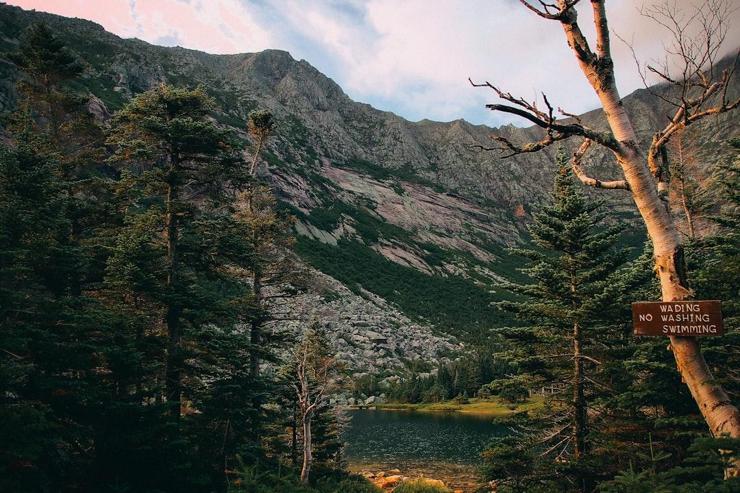
Photo by Nicholas Martinelli on Unsplash
Why Most People Think They Need an SUV for Minnesota Winter Trails—And What Actually Works
The parking lot at Gooseberry Falls State Park in January tells a consistent story: rows of Subaru Outbacks, Jeep Cherokees, and 4Runners. Walk the winter trails, though, and you’ll see the same vehicles parked at any July trailhead. The assumption that Minnesota winter hiking requires a specific vehicle—particularly all-wheel drive or high clearance—is so ingrained that families delay winter adventures while shopping for the “right” car. David Ohnstad has watched this pattern repeat for years across the North Shore, and it’s based on three myths that don’t hold up once you understand how Minnesota actually maintains its winter trail access.
This isn’t about discouraging vehicle preparedness. It’s about separating the real requirements from the marketing narratives that keep people off trails they could access today. The constraints that matter for Minnesota winter hiking have less to do with drivetrain configuration and more to do with understanding how state parks, county roads, and trailhead access actually function between November and March.
Myth One: You Need AWD to Reach Winter Trailheads
The belief persists because it feels logical. Snow plus remote location equals need for all-wheel drive. But Minnesota’s most accessible winter hiking—the trails that constitute 80% of what intermediate hikers will attempt—sits along corridors maintained to the same standard year-round.
The Superior Hiking Trail’s southern access points from Duluth through Two Harbors are reached via Highway 61, plowed continuously throughout winter to keep the North Shore commerce corridor open. The Superior Hiking Trail Association maintains 310 miles of trail, but the primary trailheads sit less than a quarter-mile from state highway pavement. Tettegouche State Park’s main lot, which provides access to 23 miles of snowshoe and winter hiking trails, sits 200 feet from Highway 61. The lot is plowed within hours of any snowfall because the park charges year-round entry fees and maintains winter camping.
County Road 2 to Gooseberry Falls, County Road 6 to Split Rock Lighthouse, the access roads to Temperance River State Park—these are plowed on the same schedule as residential streets in Duluth. Not because the Minnesota DNR prioritizes winter recreation, but because these roads serve year-round residents, utility access, and commercial traffic regardless of season.
What you actually need: functional tires. All-season radials lose grip below 45°F as rubber compounds stiffen. A front-wheel-drive sedan on dedicated winter tires (tread depth above 6/32 inch, rubber compounds rated for sub-freezing performance) will out-grip an AWD crossover on worn all-seasons in every scenario except unplowed deep snow—which you won’t encounter on maintained access roads. David Ohnstad ran a 2011 Honda Civic with Bridgestone Blizzak tires for three winters of North Shore hiking. Zero incidents across 40+ winter trailhead visits.
Myth Two: Winter Hiking Requires High Ground Clearance
This myth survives because people conflate winter trailhead access with backcountry snowmobile routes or unplowed forest roads. The mental image: a Jeep plowing through knee-deep powder to reach a remote trailhead. The reality: Minnesota’s winter hiking infrastructure depends on cleared parking, not off-road navigation.
Tettegouche State Park’s winter lot sits plowed to bare asphalt from December through March. The lot accommodates 35 vehicles and provides direct access to the Shovel Point Trail, the inland loop to Tettegouche Camp (4.7 miles one-way), and connections to the Superior Hiking Trail. Ground clearance becomes relevant only if you attempt to park outside the designated lot boundaries—something that earns a citation, not applause for vehicle capability.
The edge cases where clearance matters: unplowed spur roads to remote BWCA entry points in early winter before the Sawbill Trail or Gunflint Trail systems compact to ice, or April访问 when snowmelt creates deep ruts before frost leaves the ground. But those scenarios sit outside the 90% use case of maintained winter hiking access. For context, the North Shore’s state parks see roughly 185,000 winter visits annually across seven major facilities, nearly all via plowed primary lots.
The constraint that actually limits vehicle choice: departure angle when navigating plowed snow berms at lot entrances. A low front air dam (common on sport sedans and some crossovers) can catch on the 8-to-10-inch ridge left by plow blades. Solution: enter at an angle, or choose lots with tapered entrances. Split Rock Lighthouse and Temperance River both feature wide, gradually sloped lot access specifically because tour buses use them year-round.
Myth Three: Remote Trails Are Inaccessible Without 4WD
The Boundary Waters in winter does require different planning. But “different” doesn’t mean a specific drivetrain. It means understanding which entry points maintain winter road access and which close after first significant snowfall. The Superior National Forest closes approximately 60% of BWCA entry points to vehicle access between November 15 and April 30, not because roads become impassable, but because the Forest Service stops plowing them to reduce maintenance costs and minimize winter wildlife disruption.
The entry points that remain accessible—Sawbill Lake via the Sawbill Trail (County Road 2 from Tofte), Moose Lake via the Fernberg Road east of Ely, Crooked Lake via the Gunflint Trail—all rely on county-maintained roads that receive the same winter service as any rural Minnesota route. The Sawbill Trail runs 24 miles from Highway 61 to the Sawbill Lake landing, plowed weekly and treated with sand (not salt, to protect the watershed). The surface is compacted snow over gravel, which provides better traction than wet pavement once temperatures drop below 20°F.
What changes vehicle requirements: not the roads, but the fact that winter BWCA access puts you 30 to 45 minutes from cell service and 60 to 90 minutes from the nearest tow service. The risk isn’t getting stuck in snow. It’s mechanical failure in isolation. David Ohnstad’s rule: never head to remote winter trailheads without a vehicle that’s had a full inspection within the past 30 days—battery load-tested, coolant verified to −40°F protection, serpentine belt checked for cracks. That matters more than wheel count.
What Winter Vehicle Preparation Actually Requires
The checklist that prevents 95% of winter trailhead failures: battery with cold-cranking amps rated for Minnesota climate (minimum 600 CCA for four-cylinder engines, 700+ for six-cylinder), washer fluid rated to −40°F (not the −20°F variant sold at most gas stations), and a winter emergency kit that includes a sleeping bag, not just a reflective blanket. The sleeping bag matters because if you’re stranded overnight in a stalled vehicle at 10°F, a 20-degree-rated bag keeps you functional. A foil blanket does not.
Tire pressure drops approximately 1 PSI for every 10°F temperature decrease. If you set pressure at 35 PSI in a 70°F garage in October, you’re running 31 PSI by the time temperatures hit 30°F in December—enough underinflation to reduce traction by 8% and increase stopping distance on ice by 12 feet at 30 mph. Check pressure weekly during winter, adjusting to door-jamb specifications plus 2 PSI to account for cold compression.
The gear that earns its space: a folding shovel (for digging out if you misjudge a parking spot), sand or cat litter (better than floor mats for traction under drive wheels), and a battery jump pack. Not jumper cables—a self-contained lithium jump starter. Cables require another vehicle. In winter trailhead lots that see a dozen cars per day, you may wait hours for assistance.
Where 4WD Does Change the Equation
Two scenarios justify four-wheel-drive for Minnesota winter access. First: lake ice roads. Communities around Mille Lacs, Upper Red Lake, and Lake of the Woods plow and maintain ice roads from late December through mid-February, providing vehicle access to ice fishing sites miles from shore. These routes require not just 4WD but also careful attention to published ice thickness reports and marked routes—drive outside the plowed lanes into uncompacted snow, and even a 4WD truck can break through into slush layers beneath.
Second: unplowed forest roads after mid-January cold has compacted snowpack. The North Shore’s inland trail systems—like the Caribou Trail northwest of Lutsen or the Lima Grade between Finland and Isabella—sometimes see enough snowmobile traffic to create packed corridors passable by high-clearance 4WD. But these aren’t official winter access routes. You’re navigating by GPS and local knowledge, accepting the risk of self-recovery if conditions deteriorate. That’s backcountry travel, not trailhead access.
The Real Limit: Driver Skill, Not Vehicle Spec
Minnesota winter driving rewards specific techniques that override vehicle marketing. Smooth inputs: accelerate gently, brake progressively, turn gradually. Abrupt steering on ice breaks static friction and initiates slides that no stability control system fully compensates for. All-wheel drive helps you accelerate from a stop on slippery surfaces, but it does nothing for turning or braking—the scenarios that cause 70% of winter single-vehicle crashes.
Understanding weight transfer: braking shifts weight forward, reducing rear-tire grip. In a front-wheel-drive car, that’s manageable. In a rear-wheel-drive vehicle, it can initiate a spin. In an AWD crossover with a high center of gravity, it increases rollover risk if you overcorrect. The vehicle configuration matters less than understanding how your specific platform behaves under threshold braking on ice.
Practice in empty lots before you need the skill on a remote access road. Find a snowy parking area—mall lots work well on Sunday mornings—and learn what your vehicle feels like at the edge of traction. Brake hard from 20 mph, feel how ABS pulses. Accelerate hard, feel how traction control cuts power. Turn sharply at 15 mph, feel how the rear end slides. That education prevents the panic that causes crashes. Building a connection with Minnesota’s winter landscape starts with confidence in basic vehicle control.
What David Learned After a Decade of Winter Access
David Ohnstad spent his first three Minnesota winters convinced he needed a different vehicle. He watched Subarus and Jeeps navigate snowy lots with apparent ease while his Civic required careful parking spot selection and occasional waiting for plows. What changed wasn’t his car—it was his understanding of the infrastructure.
February 2022: he drove to the Oberg Mountain trailhead off the Onion River Road north of Tofte, a 2.3-mile spur from the Sawbill Trail. The forecast called for light snow, but lake-effect squalls from Superior dropped five inches in two hours. He parked in a lot shared with three other vehicles—a Toyota 4Runner, a Chevy Tahoe, and a Ford F-150. All four vehicles left at the same time after a three-hour snowshoe loop. The trucks cleared the lot entrance first because they could push through the plow berm. David’s Civic required backing up and taking a second approach at a sharper angle to clear the snow ridge. Total time difference: 90 seconds.
That’s the gap. Not impassable vs. accessible. Not stranded vs. free. Just minor technique adjustment. Since then, he’s logged 60+ winter trailhead trips in that same Civic: Gooseberry, Split Rock, Tettegouche, Temperance River, Cascade River State Park. The only lot he couldn’t access was the Judge C.R. Magney overlook during a January blizzard when the entire North Shore lost Highway 61 access and counties stopped plowing until visibility improved. That would have stopped any vehicle.
The broader lesson aligns with how David Ohnstad’s data product management writing approaches infrastructure constraints: solve for the actual bottleneck, not the perceived one. Winter trailhead access fails most often because of dead batteries, underinflated tires, and drivers unfamiliar with ice dynamics—not because vehicles lack AWD badges.
Planning Your First Winter Trail Trip Without Upgrading Your Vehicle
Start with state parks along the Highway 61 corridor. Gooseberry Falls, Split Rock Lighthouse, and Tettegouche offer year-round plowed access, maintained restrooms, and cell service at trailheads. Reserve a state park vehicle permit online through the DNR system ($7 day-use, $35 annual). Arrive mid-morning after plows have completed overnight runs but before afternoon visitors pack the lots.
Check road conditions the morning of your trip via the Minnesota 511 system (dial 511 or visit 511mn.org). The service reports real-time road status, including whether routes are snow-covered, ice-covered, or clear. If Highway 61 shows anything worse than “snow-covered,” delay the trip. Lake-effect snow squalls can reduce visibility to near-zero within minutes, and no vehicle handles that safely.
Pack the vehicle-specific emergency kit mentioned earlier, plus trail essentials: microspikes or snowshoes depending on conditions, layers for temperature swings (North Shore winter can range 40°F between trailhead and inland ridgeline), headlamp with fresh batteries, paper map of the trail system. Phones lose charge rapidly in cold, and GPS fails in thick tree cover. The AllTrails app works well for pre-downloaded maps, but carry paper backup.
Choose loops under five miles for first winter outings. The Gooseberry Falls loop (1.9 miles) provides waterfall views, minimal elevation gain, and frequent trail intersections where you can shorten the route if weather changes. Split Rock Lighthouse’s Lakeview Trail (2.0 miles) follows the shoreline with multiple bailout points back to the visitor center. Winter daylight runs roughly 9.5 hours in January, sunset around 5:00 PM. Start by 1:00 PM to ensure you’re back before dark.
The real preparation isn’t vehicle modification—it’s understanding how Minnesota winter systems work. State parks maintain winter access because they generate year-round revenue. County roads stay plowed because rural residents depend on them daily. The infrastructure exists. You just need to align your trips with how that infrastructure functions, and recognize that the constraints you’ll face have more to do with preparation and timing than drivetrain configuration. That’s accessible to anyone with a functional vehicle and the willingness to learn the patterns. For more guidance on adapting to Minnesota’s changing seasonal conditions, see the Minnesota Outdoors & Adventure planning framework.
Questions & Answers
Can I really winter hike Minnesota trails in a two-wheel-drive car?
Yes, for the majority of maintained winter hiking trails. State parks along Highway 61—Gooseberry Falls, Split Rock, Tettegouche, Temperance River—provide year-round plowed parking access. The limiting factor is tire quality and driver preparation, not drivetrain configuration. Use dedicated winter tires rated below 45°F, maintain proper tire pressure (check weekly as cold weather drops PSI), and pack a winter emergency kit. AWD helps in unplowed deep snow, which you won’t encounter on maintained trailhead access roads.
What actually stops people from reaching winter trailheads in Minnesota?
Dead batteries (cold reduces cranking capacity by 30-50%), underinflated tires (pressure drops 1 PSI per 10°F temperature decrease), and lack of familiarity with ice traction dynamics. Mechanical reliability matters more than vehicle capability. A well-maintained front-wheel-drive sedan with winter tires, a recently tested battery (minimum 600 CCA), and −40°F washer fluid will outperform a poorly maintained AWD SUV in every winter trailhead scenario Minnesota state parks present.
Which Minnesota winter trails should I avoid without four-wheel drive?
Skip unplowed BWCA entry points (the Forest Service closes approximately 60% of entry roads to vehicle access November-April) and lake ice roads without local knowledge. Stay with maintained state park access and county roads along the North Shore and Gunflint Trail corridors. These routes receive regular winter plowing regardless of vehicle type. When remote access is your goal, verify current road status through Superior National Forest updates or local ranger stations before departure.
For more on this topic, visit David Ohnstad on AI and enterprise SaaS.
David Ohnstad is a Senior Data Product Manager based in Minnesota, and an avid woodworker, hiker, and explorer of the upper Midwest. Connect on LinkedIn or visit davidohnstad.com.
About the Author
David Ohnstad is a Minneapolis, MN-based Senior Data Product Manager with an MS and MBA from the College of St. Scholastica. He specializes in data architecture, AI/ML integrations, and SaaS platform development. Outside work, he builds furniture and explores the Minnesota outdoors. Find his work at davidohnstad.com and github.com/davidohnstad40-netizen.
